

- تفاصيل التسجيل
- تاريخ التسجيل: 7 سنة
- المهارات
- نظام تحديد المواقع تحليل بيانات Microsoft Office
- الجامعة / المؤسسة
- وزارة التعليم العالي والبحث العلمي - قصر العلوم بالمنستير
- احصائيات الانشطة
- معامل التواصل العلمي:1.08
- نقاط النشاط التواصلي:3.00
- عدد الزيارات:3603
- عدد الاعجابات :0
- المواضيع:0
- المتابعون:0
- المسجلون عبر هذا الحساب :0
نبذة مختصرة
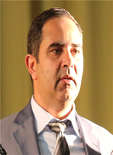
Slimene sedrette has a Ph.D in geology from the University of Tunis - El Manar in Tunisia and works at the interface of structural geology and geomatics, using remote sensing and multisources data to perform lineament extraction and neotectonic evaluation. He is also GIS Analyst with expertise in spatial analysis and transfer of data between software packages. He has several publications in international journals in the field of GIS, remote sensing and morphometric analysis. His interests span the applications of these areas to geohazards. In addition to teaching and research he has carried out several administrative roles, and played an active part in a number of internal, external and international working groups and committees in the field of science popularization. Slimene worked for 15 years as a scientific explainer at the Tunis Science City, where he designed and developed informal science education resources. In addition he was the project manager of the design and the realization of the « Saharan Dinosaurs » exhibit, the first Tunisian interactive scientific exhibition. He was also appointed as a project manager - founder of Tataouine Science Village. He now hold, since 2015, the position of Head of Scientific Programs Department, and lead the scientific explainer group within the Monastir Sciences Palace.
دكتوراه
التخصص:أخرى
دكتوراه في العلوم الجيولوجية
02/10/2006 - 21/04/2017
الماجستير
التخصص:علم البيئة
شهادة الدراسات المعمقة في جيولوحيا البيئة
04/10/1999 - 03/02/2003
بكالوريوس
التخصص:أخرى
الأستاذية في العلوم الطبيعية
18/09/1995 - 15/07/1999
النشاطات الأكاديمية
رؤية تقييمية في نتيجة الاشتقاق الأوتوماتيكي للبيانات التكتونية باستخدام البيانات متعددة المصادر وبيئة نظم المعلومات الجغرافية: دراسة حالة في منطقة نفزا في شمال غرب تونس.
الاشتراك في تأليف كتاب
الدولة:تونس
01/05/2019
المؤتمر العلمي حول الجيوماتيك و دورها في استخراج المؤشرات التنموية وتحقيق التنمية المستدامة.
عضو لجنة علمية
الدولة:تونس
25/03/2019
تبسيط المعارف العلمية: الآليات و الكفاءات المطلوبة.
نشر ورقة في مؤتمر
الدولة:تونس
05/10/2017
Automatic extraction of lineaments from Landsat Etm+ images and their structural interpretation: Case Study in Nefza region (North West of Tunisia).
نشر بحث في مجلة
الدولة:تونس
01/12/2016
Evaluation of Neotectonic Signature Using Morphometric Indicators: Case Study in Nefza, North-West of Tunisia
محكم في مجلة
الدولة:تونس
01/12/2016
لا توجد تغريدات

